Junction of Canvalle
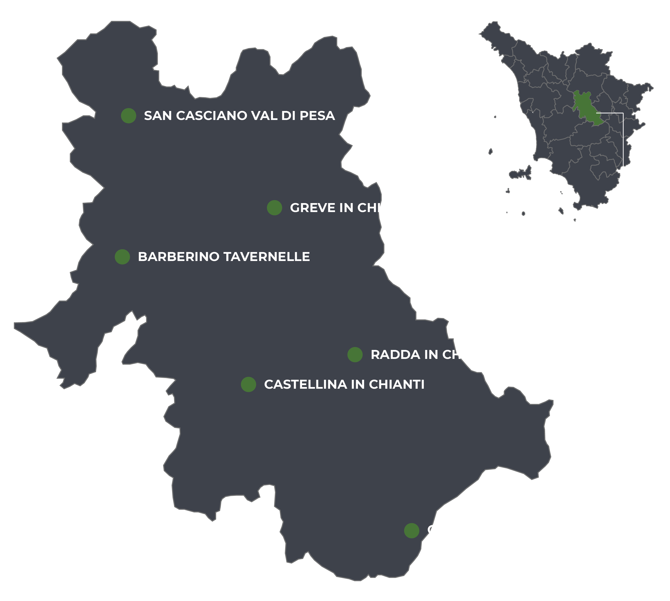
Municipality Radda in Chianti
OUTDOOR / TRAILS / RADDA IN CHIANTI
This small junction starts directly near the Vin Osteria in the hamlet of la Villa, in Radda in Chianti.
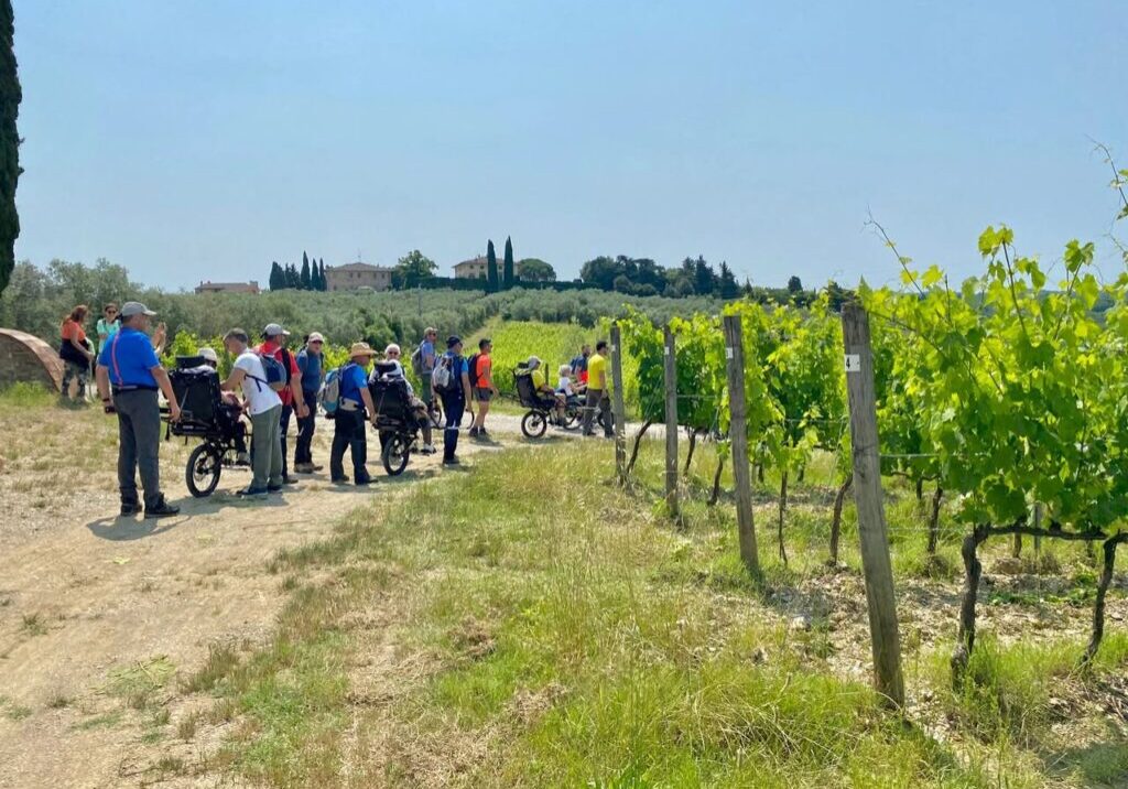
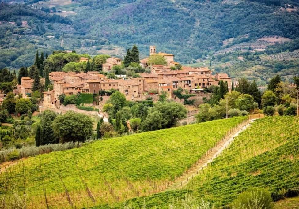
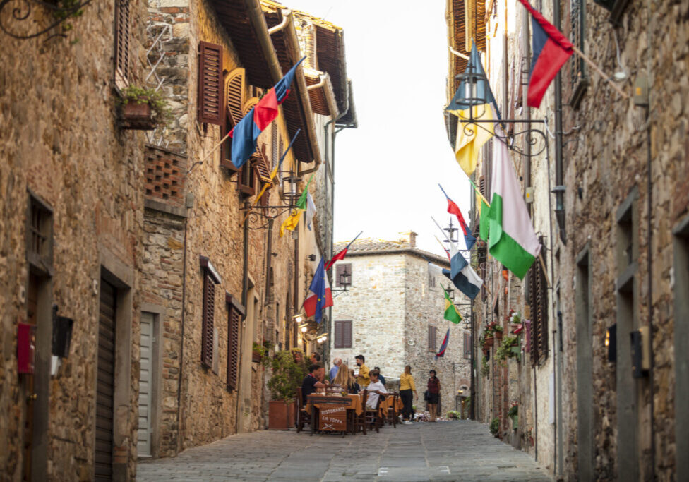
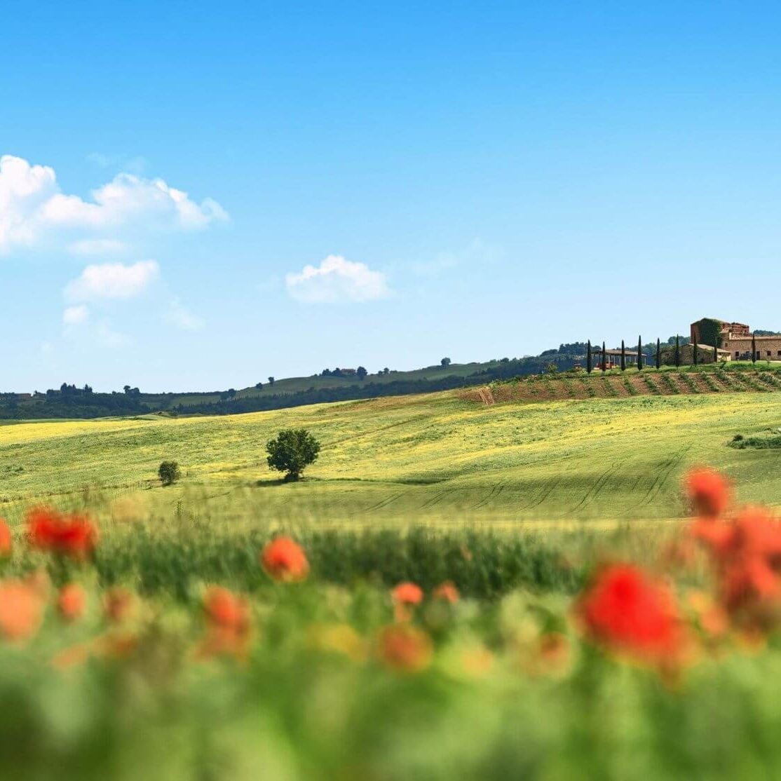
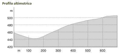
The trail passes through the last houses of the hamlet and the first cultivated fields of the nearby farms. After finishing the descent, it climbs rapidly in the direction of Canvalle, whose tower can be spotted from some distance away.
Having grazed the farm, the route continues, abandoning the road and entering the woods as a path. It will soon reach the small ridge road where the trail ends, connecting with route No. 306.
Route:
Technical Details:
- Location of Departure: locality la Villa - road SR429
- Getting there:The starting point is easily reached by car arriving directly from the center of the town of Radda in Chianti proceeding for 5 minutes in the direction of Gaiole in Chianti. There are no parking lots in the immediate vicinity of the trailhead, but a little further along the road there are lay-bys where you can park. The coordinates of the trailhead are: 43.489580, 11.390238
- Location of arrival: -
- Access: Access is at the locality la Villa about 1 km from Radda in Chianti
- Difficulty level: T - Tourist
- Any critical issues: none
- Experience requirements: basic hiking skills
- Walking Time: 20 minutes
- Length: 709 meters
- Total ascent: 70 meters
- Total Descent: 30 meters
- Maximum Height: 511 m.a.s.l.
- Minimum Height: 442 m.s.l.
- Signage: horizontal signs on trees and rocks, presence of wooden pegs with regulation coloring
- Best time to tackle the trail: all year round
- Equipment needed: basic hiking equipment
- Operators offering ancillary tourist services to the trail: nd
Gallery:
Related articles
Let yourself be inspired by the legends, stories, and a thousand excellences of this land in the green heart of Tuscany

