Warning: Attempt to read property "dt" on array in /web/htdocs/www.visitchianti.net/home/wp-content/plugins/wp-gpx-maps/wp-gpx-maps.php on line 455
Warning: Attempt to read property "lat" on array in /web/htdocs/www.visitchianti.net/home/wp-content/plugins/wp-gpx-maps/wp-gpx-maps.php on line 456
Warning: Attempt to read property "lon" on array in /web/htdocs/www.visitchianti.net/home/wp-content/plugins/wp-gpx-maps/wp-gpx-maps.php on line 457
Warning: Attempt to read property "maxEle" on array in /web/htdocs/www.visitchianti.net/home/wp-content/plugins/wp-gpx-maps/wp-gpx-maps.php on line 459
Warning: Attempt to read property "minEle" on array in /web/htdocs/www.visitchianti.net/home/wp-content/plugins/wp-gpx-maps/wp-gpx-maps.php on line 460
Warning: Attempt to read property "maxTime" on array in /web/htdocs/www.visitchianti.net/home/wp-content/plugins/wp-gpx-maps/wp-gpx-maps.php on line 461
Warning: Attempt to read property "minTime" on array in /web/htdocs/www.visitchianti.net/home/wp-content/plugins/wp-gpx-maps/wp-gpx-maps.php on line 462
Warning: Attempt to read property "totalEleUp" on array in /web/htdocs/www.visitchianti.net/home/wp-content/plugins/wp-gpx-maps/wp-gpx-maps.php on line 463
Warning: Attempt to read property "totalEleDown" on array in /web/htdocs/www.visitchianti.net/home/wp-content/plugins/wp-gpx-maps/wp-gpx-maps.php on line 464
Warning: Attempt to read property "avgSpeed" on array in /web/htdocs/www.visitchianti.net/home/wp-content/plugins/wp-gpx-maps/wp-gpx-maps.php on line 465
Warning: Attempt to read property "avgCad" on array in /web/htdocs/www.visitchianti.net/home/wp-content/plugins/wp-gpx-maps/wp-gpx-maps.php on line 466
Warning: Attempt to read property "avgHr" on array in /web/htdocs/www.visitchianti.net/home/wp-content/plugins/wp-gpx-maps/wp-gpx-maps.php on line 467
Warning: Attempt to read property "avgTemp" on array in /web/htdocs/www.visitchianti.net/home/wp-content/plugins/wp-gpx-maps/wp-gpx-maps.php on line 468
Warning: Attempt to read property "totalLength" on array in /web/htdocs/www.visitchianti.net/home/wp-content/plugins/wp-gpx-maps/wp-gpx-maps.php on line 469
San Giovanni Gualberto ring route
Municipality of Barberino Tavarnelle
OUTDOOR / PATHS / CHIANTI
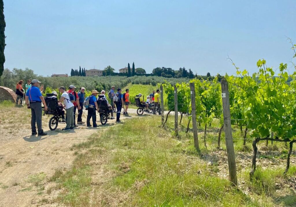
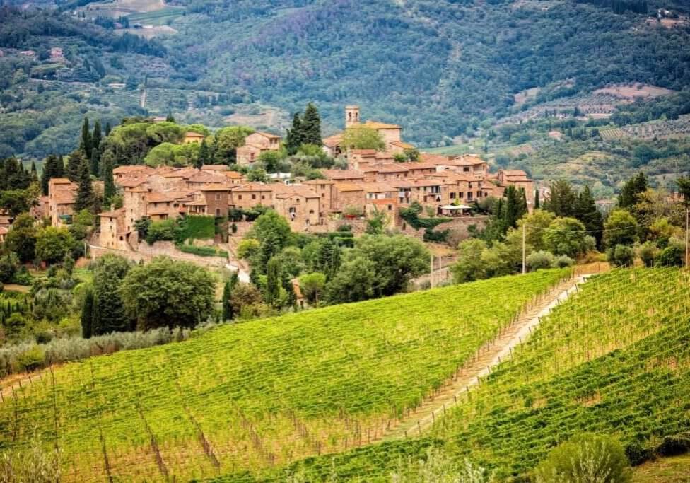
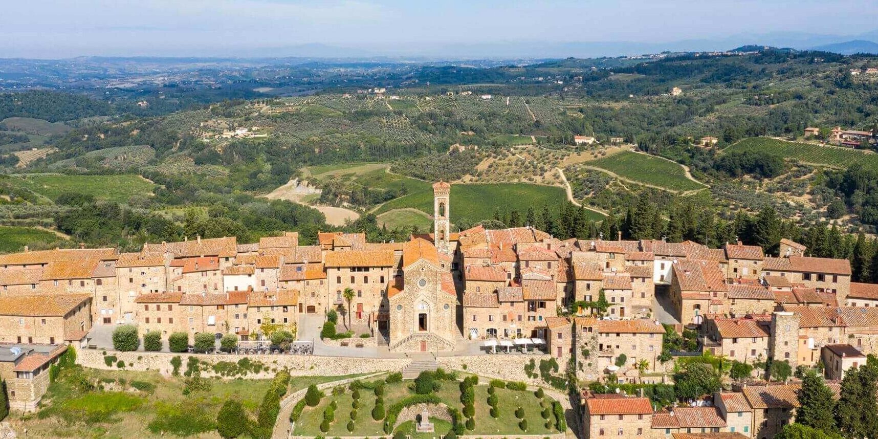
A wide-ranging route along the ridges that slope down to the Pesa. Woods and farms with vineyards and olive groves alternate with views of Tavarnelle, Barberino and San Donato.
We advise a diversion to the place where, according to the legend, Saint John Gualbert encounter the devil and where his frightened horse left footprints that are still visible today. The place is called 'the footprints of St. John Gualbert's horse'.
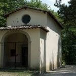
The route begins with a path near the chapel of Saint John Gualbert along the Pesa, but can be shortened by a variant that allows a quick return to the starting point.
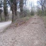
The itinerary begins on the road along the Pesa, about 100 metres before arriving at the chapel of Saint John Gualbert, near a tourist sign indicating the Footprints of St. John Gualbert. We ascend along the path, which with a few bends reaches a fork where an old signpost indicates the Devil Footprints. We turn to the left and slightly downhill, after passing a clearing that we keep to the left, we reach the bed of a stream where some distinctive cracks in the rock recall the legend of the 'Footprints'.
We retrace our steps to the crossroads with the arrow for the “Footprints" and turn left to resume the ascent until we reach the natural road coming from the right along the Pesa. From here it is possible to make a variant to quickly return to the start. Turning to the right we reach the gravel road along the Pesa and the start. The route in this case is about 3.2 km long.
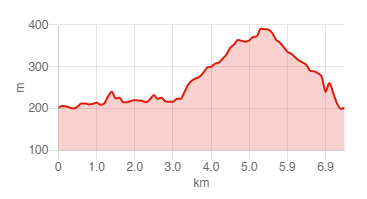
We follow the gravel road after turning to the left, leaving a farmhouse on the right and then a fork on the left. At a second fork, we leave the mostly used dirt road that heads towards a farmhouse and take a natural road to the left that we follow for a long time until we leave the woods just before the St. Brizzi farmhouse. Once in front of the beautiful building (highest point of the route), we turn right to another dirt road and begin our descent along the road that ends in front of the Montebernardi farm. Before the gate, we turn to the right and follow the track outside the fence.
Past the buildings, we turn right along the path and descend until we reach the road along the Pesa near a clearing. We turn right and follow the Pesa road to reach the place from where we started.
Route:
Technical details:
- Starting location: Tavarnelle Val di Pesa
- How to get there:
- Arrival locality: Tavarnelle Val di Pesa
- Access:
- Difficulty level: E - Hiking
- Any critical points: no
- Experience requirements: Minimum
- Travelling time: about 3 hours
- Length: 7.4 km
- Total ascent:
- Total Descent:
- Maximum height: 391m above sea level
- Minimum height: 198m above sea level
- Signposts: CAI signpost no. 462
- Best time to tackle the route: All year round
- Necessary equipment: Hiking shoes
- Operators offering ancillary tourist services along the route:
Related articles
Let yourself be inspired by the legends, stories, and a thousand excellences of this land in the green heart of Tuscany.


